Arroyo Hondo Preserve Reservations
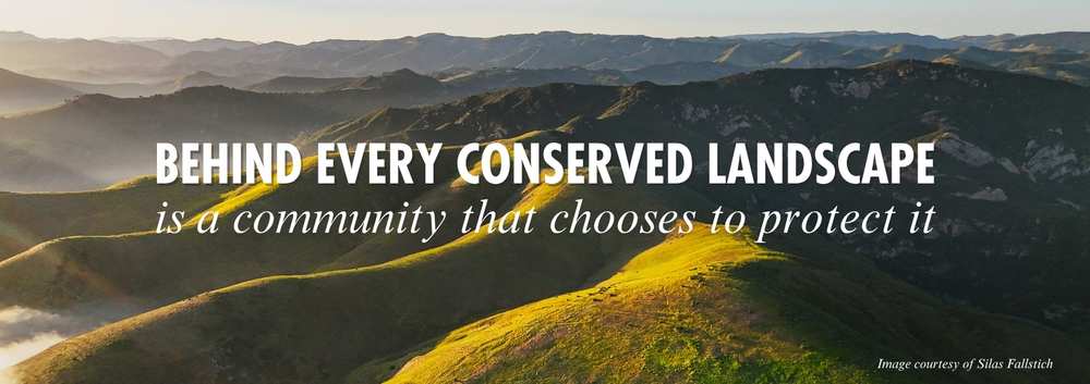
The Arroyo Hondo Preserve is located west of Santa Barbara between Refugio State Beach and Gaviota State Park. The preserve is tucked into a magnificent canyon with winding trails, creeks, shady trees, and rewarding views. All 910-acres of Arroyo Hondo are protected forever and managed by the Land Trust.
While we are excited to welcome visitors back to Arroyo Hondo Preserve, please note that visits will look a little different…
Recent storms caused extensive damage at Arroyo Hondo Preserve, including flooding, landslides, and impacts to trails, roads, parking areas, and infrastructure. While the preserve is resilient, the effects of this storm are significant.
Our stewardship team has worked hard to repair main road and trails, so we can invite back our beloved visitors. We continue to assess damage and plan recovery efforts to repair additional trails for safe use. Some work cannot begin until the ground dries, and recovery will take time and meaningful resources to support cleanup, stabilization, and long-term care of the preserve.
For safety reasons, all visitors will be invited to join guided tours on a limited trail system. The land is still shifting and settling, and some areas remain difficult to access. Weather and changing conditions may impact tour availability.
The preserve is sensitive—Please no pets, swimming, mountain bikes, hunting, fishing, or campfires, and please drive slowly.
Updates on the status of the preserve can be found at https://www.sblandtrust.org/ahp-storm-recovery-updates/
Last updated: [April 1, 2026]
Book a Reservation
Visitors are welcome to join a 10 a.m. guided tour on Saturday or Sunday the first and third full weekend of every month! Free online reservations are required in advance, spaces are limited.
- Knowledgeable docents will lead you on a 2-hour natural history tour along Arroyo Hondo Creek. Learn about the plants and animals of the canyon as well as the fire and flood cycles that help keep the Preserve wild. View the historic Ortega Adobe, built in 1842, and once used as a stagecoach stop on the route between Lompoc and Santa Barbara.
- Tours are approximately 1.5 miles over mostly flat terrain including dirt, gravel, sand, and boards crossing the creek. Free parking, bathrooms, and water are available. To protect the Preserve’s natural habitat, dogs are not allowed.
- To make your weekend tour reservation select an open date on the calendar. You will receive a confirmation email with visit details. Reservations open one month in advance.
Guided tours for community groups of 10 people or more are available weekdays and weekends on a limited basis. To learn more about how to schedule, please contact Leslie Chan at [email protected].
Environmental Education field trips are offered to schools for free— our calendar is full through the end of the 2025/2026 school year, but please contact Education Coordinator Sally Isaacson at [email protected] to learn more about scheduling a future trip.
Directions to the Preserve
Traveling northbound on the U.S. Highway 101: The Preserve is about a 30-minute drive from downtown Santa Barbara. Approximately 4 miles past Refugio State Beach, you will see a blue “Rest Area in 7 miles” sign followed closely by a yellow warning sign with an icon of falling rocks. The entrance to Arroyo Hondo is in 1/2 mile and will be visible on the right at the bottom of the hill. Make a right-hand turn into the driveway. Come down the driveway, cross the bridge on the right and park near the barn.
Traveling southbound on the U.S. Highway 101: Approximately 4.8 miles past Gaviota State Park and 1/2 mile after the Vista Point Rest Area, move to the left lane. Using the left-hand turn lane, make a U-turn onto the northbound lanes of the U.S. Highway 101. In 1/4 mile, you will see a blue “Rest Area in 7 miles” sign followed closely by a yellow warning sign with an icon of falling rocks. The entrance to Arroyo Hondo is in 1/2 mile and will be visible on the right at the bottom of the hill. Make a right-hand turn into the driveway. Come down the driveway, cross the bridge on the right and park near the barn.
NOTE: If you miss the U-turn, exit at Refugio State Beach in approximately 4 miles. Continue on the road to cross under the bridge and take the U.S. Highway 101 northbound on-ramp on the left. From there, follow the northbound directions.